Hurricane Erin set to rocket to Category 4 — What it means for Florida
SARASOTA, Fla. (WWSB) - Hurricane Erin has become the first hurricane of the 2025 Atlantic season and is forecast to rapidly intensify into a powerful Category 4 storm this weekend, with winds near 145 mph.
Erin is tracking well offshore of the southeastern United States, turning north early next week and staying far from the Florida coastline.
Florida impacts: What does it mean for you?
Forecast models show Erin will remain well offshore, turning north early next week.
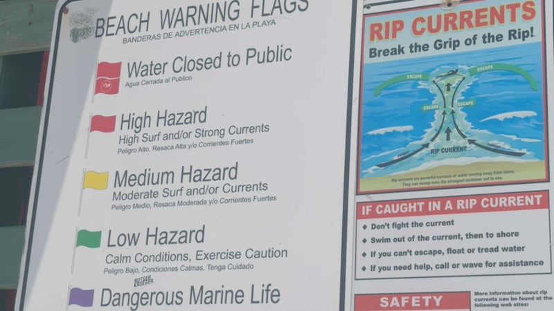
- East Coast Florida: No rain or wind threat from Erin, but expect rough surf and elevated rip currents beginning early-to-mid next week.
- Suncoast (West Coast): No direct impacts, just your typical afternoon sea breeze storms.

Model consensus & forecast confidence
Confidence in Erin’s forecast path is notably high. According to the NHC discussion, global and regional models are in strong agreement, especially through the next 60–72 hours, showing little shift to the forecast track.
Additional sources reinforce that consensus continues to trend toward Erin staying offshore of both Florida and Bermuda. This model agreement underscores why forecasters feel confident in the low probability of Florida impacts, though they will continue to monitor the situation.
Bottom Line: Erin is a growing threat on the waves, but not on Florida’s doorstep. If you’re planning on the water, focus on surf safety, sea breeze storms, and staying cool this weekend.
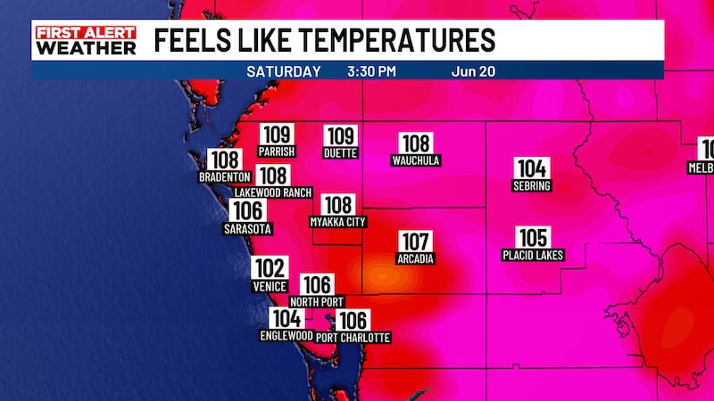
Suncoast weather this weekend
Hot and humid conditions continue through the weekend, with highs in the mid‑90s and heat index values pushing 107–108°, another Heat Advisory for Saturday is likely.
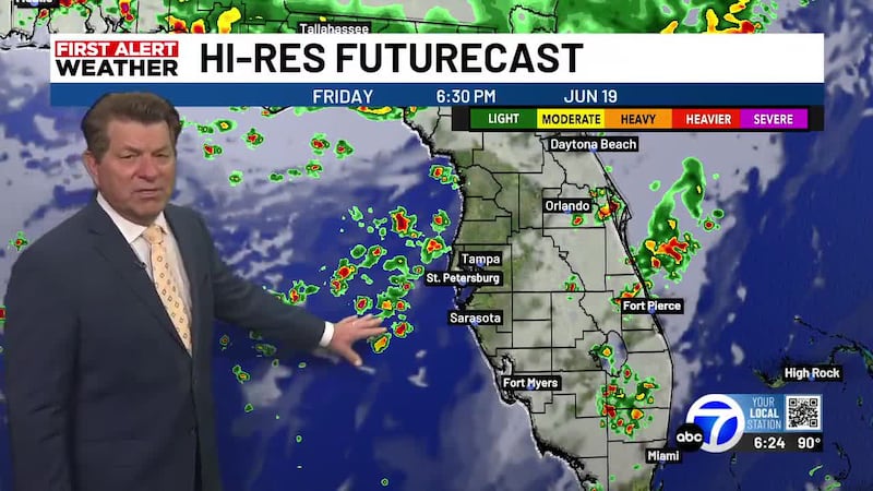
- Saturday: 40–50% POP along the coast, 60–70% inland from afternoon sea breeze storms.
- Sunday: Storm chances rise to 60–70% across the region with slow‑moving systems that could flash flood.
Looking Ahead to Next Week
Monday starts with higher rain chances (around 60%) before settling into a more typical August pattern Tuesday through Thursday, with 50–60% afternoon storm coverage each day.
Highs stay in the low to mid-90s with plenty of humidity, and the sea breeze will continue to drive the inland-moving storms.

Copyright 2025 WWSB. All rights reserved.